
Why we use a drone as part of the survey
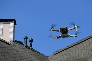
Some of the most important parts of a building are also the hardest to see. Roofs, chimneys, high gutters, and parapet walls take the brunt of the weather, yet they've traditionally been inspected from the ground with binoculars, or occasionally not at all. A drone changes that.
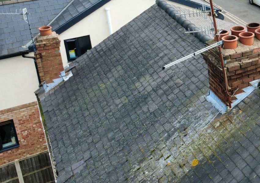
A closer look, without the guesswork.
Rather than assessing a roofline from the pavement, a drone lets us capture close, detailed images of ridge tiles, flashing, chimney stacks and gutters exactly as they are. Cracked mortar, slipped tiles, or a repair that's starting to fail all become visible rather than assumed. It replaces "probably fine from what I could see" with an actual photograph.
Safer, and more thorough.
Traditional roof inspections sometimes rely on a ladder, which has obvious limits on height, weather, and property type, some roofs simply can't be safely accessed this way at all. A drone removes that constraint. It can reach a three-storey Victorian roofline as easily as a bungalow, capturing the same level of detail either way, without anyone needing to climb anything.
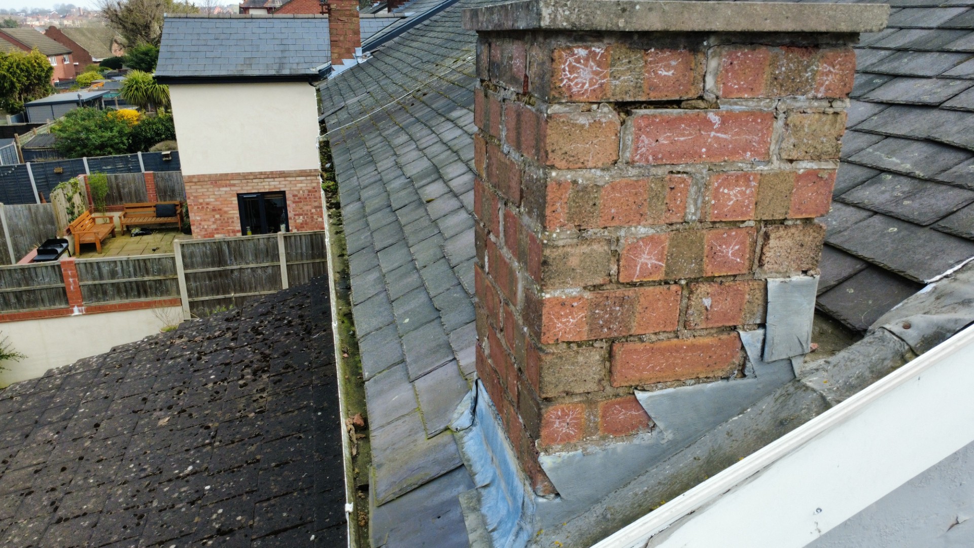
What it adds to your report
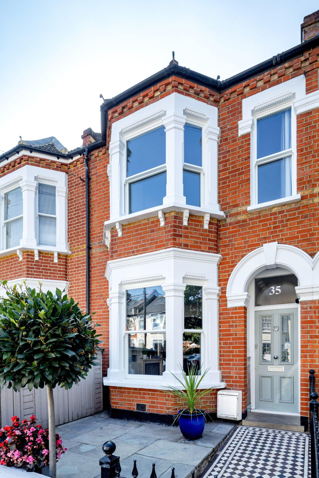
Aerial images are included alongside the written findings, so instead of reading "roof coverings appeared satisfactory," you can see the coverings for yourself. For a buyer, that's the difference between taking a surveyor's word for it and understanding exactly what you're purchasing. It's particularly valuable on older properties, homes with additions or extensions, flat roofs to bay windows and anything where the roofline is complex or difficult to view fully from ground level.
When we recommend it
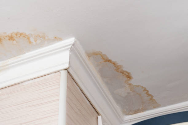
We suggest the aerial add-on whenever a roof is elevated, awkward to view, or simply worth the extra scrutiny given the age or history of the building. It's a small addition to a survey that often answers the one question buyers ask most: "what's actually going on up there?" The drone doesn't replace the surveyor, it simply gives the surveyor access to parts of the building that would otherwise be hidden. The photographs are interpreted alongside the rest of the inspection, allowing us to understand how the roof interacts with chimneys, gutters, walls and the interior.
Curious whether a drone survey would add value to your report? Ask us when you book, it's a straightforward add-on to either a Level 2 Home Survey or a Level 3 Home Survey.
Talk it through with Lee.
If any of this raises a question about a property you are buying, a short conversation usually brings clarity.